PRACTICAL GEOTECHNICAL MINING ENGINEERING SOLUTIONS
THROUGH UNIQUE & INNOVATIVE METHODOLOGIES
WELCOME TO DEMPERS & SEYMOUR
Dempers & Seymour Pty Ltd is a specialist mining geotechnical and mining engineering consulting company. Our services include open pit and underground mine planning and design, bankable feasibility studies, on site advice and training, 3 dimensional geotechnical rock mass modelling, pit optimisation, due diligence and competent persons reports.
WE INNOVATE AND DEVELOP UNIQUE DESIGN TOOLS TO QUANTIFY AND CLASSIFY THE 3-DIMENSIONAL VARIABILITY OF GEOTECHNICAL ENVIRONMENTS.
Dempers & Seymour
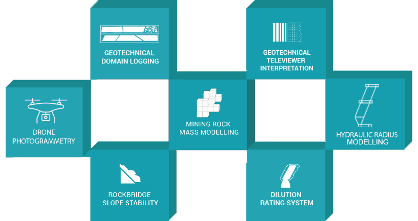
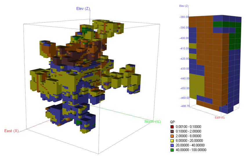
MINING ROCK MASS MODEL
A unique approach to collecting, analysing and presenting geotechnical information
Highly customisable to each specific client
A dynamic tool incorporating geotechnical and structural parameters into mine design and planning
To enable better and more precise appreciation of rock mass conditions
Learn MoreRead ArticleTalk to usDempers & Seymour
MINING ROCK MASS MODEL
A unique approach to collecting, analysing and presenting geotechnical information
Highly customisable to each specific client
A dynamic tool incorporating geotechnical and structural parameters into mine design and planning
To enable better and more precise appreciation of rock mass conditions
Learn MoreRead ArticleTalk to Us
Dempers & Seymour
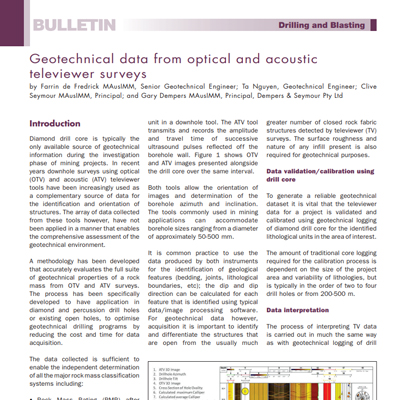
GEOTECHNICAL TELEVIEWER INTERPRETATION
Used as a complementary source of data for the identification and orientation of structures.
A methodology has been developed that accurately evaluates the full suite of geotechnical properties of a rock mass from these surveys.
The process has been specifically developed to have application in diamond and percussion drill holes or existing open holes, to optimise geotechnical drilling programs.
Reduces the cost and time for data acquisition.
Learn MoreRead ArticleTalk to Us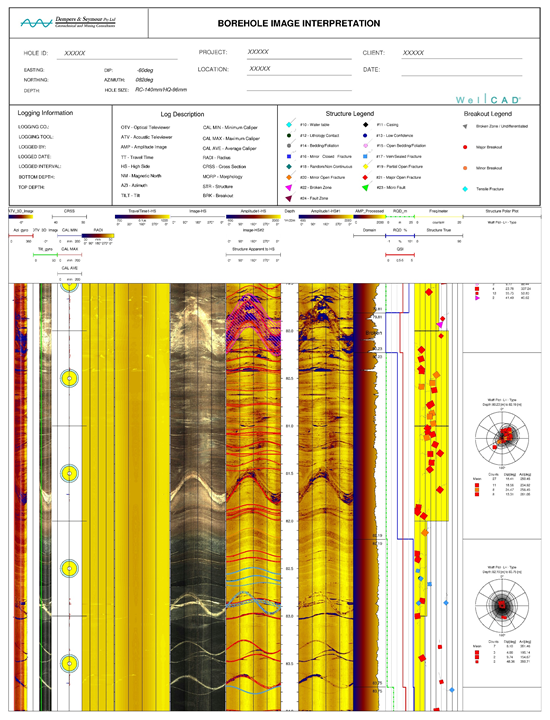
Dempers & Seymour
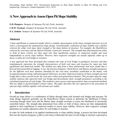
ROCK BRIDGE SLOPE STABILITY
A new approach that estimates the ratio of rock bridge to geological structure.
Uses data from a three-dimensional rock mass model that is derived from geotechnical logging.
This method allows for both failure criterion to be applied simultaneously enabling a more realistic representation of the pit slope and more appropriate factors of safety and probabilities of failure.
The use of a 3-dimensional MRMM developed using calibrated data collected from drill core will give a much greater range of strength parameters for probabilistic analyses.
Learn MoreRead ArticleTalk to usDempers & Seymour
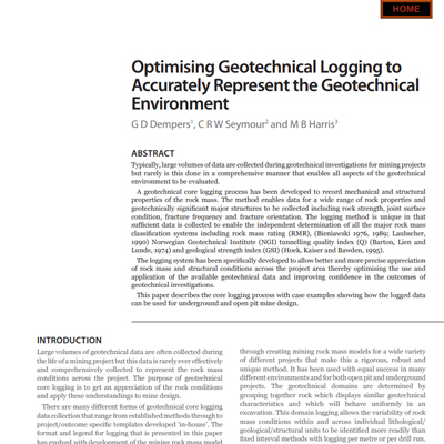
Geotechnical Domain Logging
Large volumes of data are collected during geotechnical investigations for mining projects but rarely is this done in a comprehensive manner that enables all aspects of the geotechnical environment to be evaluated.
The logging method is unique in that sufficient data is collected to enable the independent determination of all the major rock mass classification systems.
The logging system has been specifically developed to allow better and more precise appreciation of rock mass and structural conditions.
Learn MoreRead ArticleTalk to usDempers & Seymour
Drone Photogrammetry (DP)
Remote Geotechnical structural data collection.
Surveys require a single operator collecting geotechnical data from a safe location, replacing the requirement for physical mapping and eliminating exposure to hazards.
The drone survey uses a pre-planned flight path and allows for rapid collection of high-resolution data.
Back Analyses of failed slopes.
Learn MoreRead ArticleTalk to usDempers & Seymour
HYDRAULIC RADIUS MODEL (HRM)
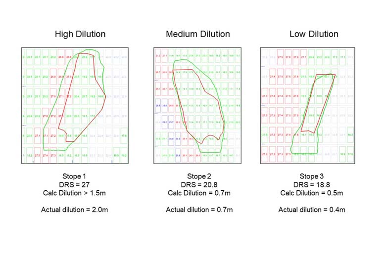
A dynamic tool to increase precision of underground stope design and ground support for production, short-term and long-term planning.
HRM is a precise 3D model, calculated using geotechnical properties derived from the MRMM combined with structure, orebody and stope wall orientation and stress at the block model scale taking cognisance of variability of the conditions across the mine.
The model is calibrated and updated with mined stopes.
Learn MoreTalk to usDempers & Seymour
HYDRAULIC RADIUS MODEL (HRM)
A dynamic tool to increase precision of underground stope design and ground support for production, short-term and long-term planning.
HRM is a precise 3D model, calculated using geotechnical properties derived from the MRMM combined with structure, orebody and stope wall orientation and stress at the block model scale taking cognisance of variability of the conditions across the mine.
The model is calibrated and updated with mined stopes.
Learn MoreTalk to us